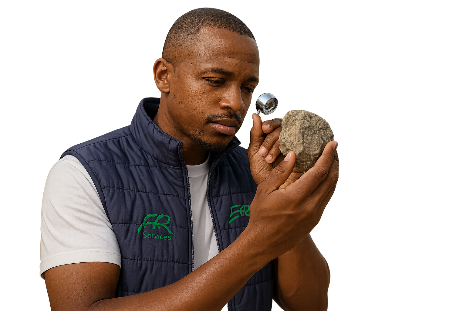
We provide detailed geological maps that identify rock types, structures, mineral occurrences, and geohazards. These maps are essential for construction planning, mining, and environmental management.
-> Lithological and structural mapping
-> Stratigraphic profiling and cross-sections
->Terrain classification and surface morphology
-> Remote sensing and GIS-based analysis