With a commitment to innovation and precision, we deliver high-quality services to private clients, businesses, and government institutions.

Contact Info

Social Links

About

ABOUT
Mamino Eng.

Mamino
Mamino

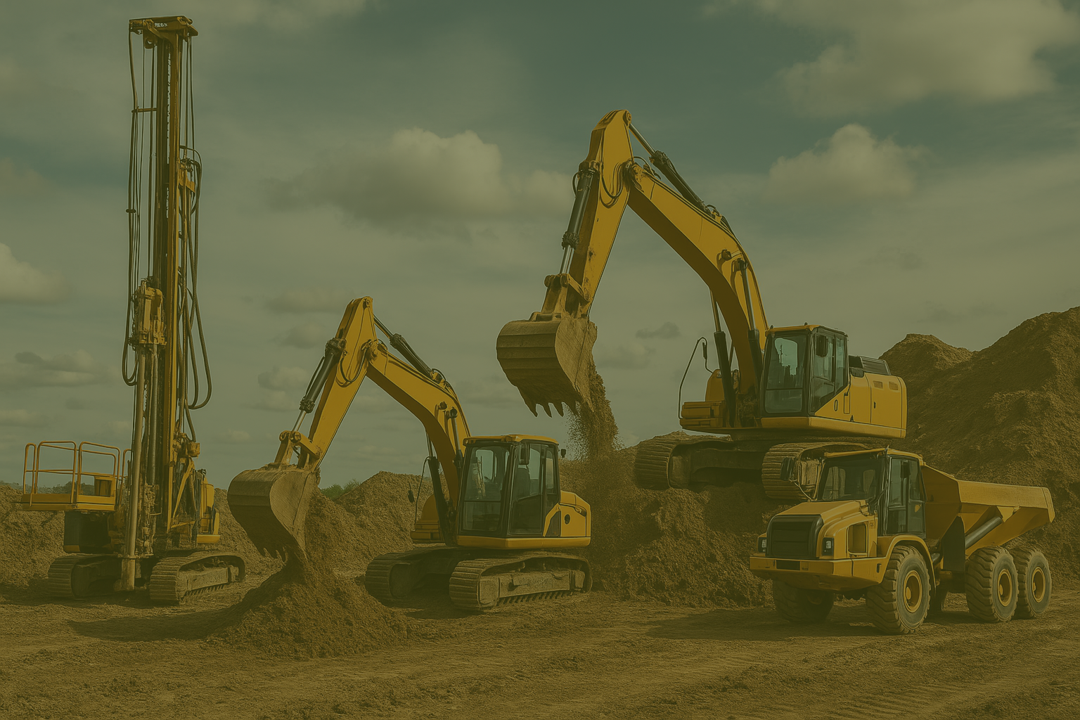
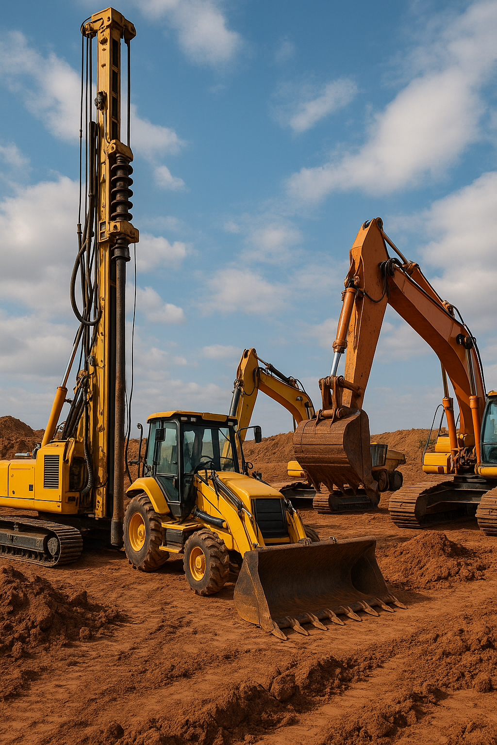
Engineering Innovation for a Sustainable Future

Mamino Engineering is a specialist geological and geotechnical company based in Lesotho, serving clients across Southern Africa. We provide high-quality subsurface investigation services that support Construction sector, mineral exploration, infrastructure development, and environmental assessment. Our team combines technical expertise in geological and geotechnical investigation, with modern drilling and geospatial technology to deliver reliable data for confident decision-making for construction and mining sectors.

Our Mission is to deliver accurate and efficient geotechnical and geological data, through safe drilling services that reveal the earth’s subsurface with clarity—empowering our clients to build, explore, and develop with confidence.

Call Us

+266 5911 2243

Our
Strength

Mamino
Mamino

We Deliver Exceptional Services

-> Qualified and registered professional engineering geologists, geotechnical engineers, and drillers.
-> Effective and dependable foundation and stability recommendations.
-> High core recovery and accurate logging.
-> Strict adherence to safety and environmental standards.
-> Fast mobilization and efficient project execution.
-> Detailed reporting with CAD, GIS, and 3D modeling integration industries we serve.
-> Mining & Mineral Exploration.
-> Civil & Structural Engineering.
-> Infrastructure & Transportation.
-> Environmental & Water Resource Management.
-> Urban Development.

Why Choose Mamino?

-> Region-Specific Expertise: We are well-versed in Lesotho’s complex geological formations, from sedimentary basins to volcanic terrains.

-> Integrated Approach: Seamless coordination with our geotechnical, environmental, and drilling teams allows for holistic project execution.

-> Modern Tools and Techniques: We utilize advanced field instruments, remote sensing, and GIS for precise and efficient mapping and analysis.

-> Exploration to Execution: From initial surveys to post-construction monitoring, we support your project lifecycle from ground zero to completion.

-> Decades of field experience

-> Proven track record across diverse geological terrains

-> High-quality data for feasibility and design

-> Transparent communication and reporting

-> Committed to safety, sustainability, and client success

Completed Projects

Equipment & Capabilities

Equipment

Function

Hydraulic Core Rigs

Portable & Track-Mounted Rigs

RC Drilling Units

Core Orientation Tools

SPT/CPT Tools

Deep, precise drilling in all terrains

Access to remote or confined sites

Fast, cost-effective sampling

Structural geology & fracture analysis

In-situ soil strength testing